

How Geospatial Technology in Agriculture is Transforming the Future of Food Security
Agriculture has always been the backbone of human society, but as populations keep increasing and climatic conditions become increasingly unpredictable, the industry is under huge pressure to adapt. It will be impossible to feed almost 10 billion people in 2050 through traditional farming practices alone. Geospatial technology in agriculture is taking center stage now and providing smarter, data-driven solutions to make sustainable crop production a reality, maximizing resources, and making global food security stronger.
From soil monitoring to predicting crop yield and irrigation management, geospatial technology is changing the way farmers, governments, and companies deal with farming. These technologies not only contribute to maximizing productivity but are also reducing the risks imposed by climate change and resource limitations.
What is Geospatial Technology in Agriculture?
Geospatial technology is the process of collecting, visualizing, and analyzing geographic data using techniques such as Geographic Information Systems (GIS), remote sensing, and Global Positioning Systems (GPS). When such technologies are used in agriculture, farmers and policymakers can make educated decisions regarding land use, crop health, resource allocation, and environmental sustainability.
For instance, crop stress can be identified by satellite imagery even before it is apparent to the human eye, drones can map fields with ease, and GIS platforms bring together climate, soil, and crop information into useful perceptions. All these together make possible precision agriculture, whereby each input- whether fertilizer, water, or pesticide is applied in exactly the right quantity, place, and time.
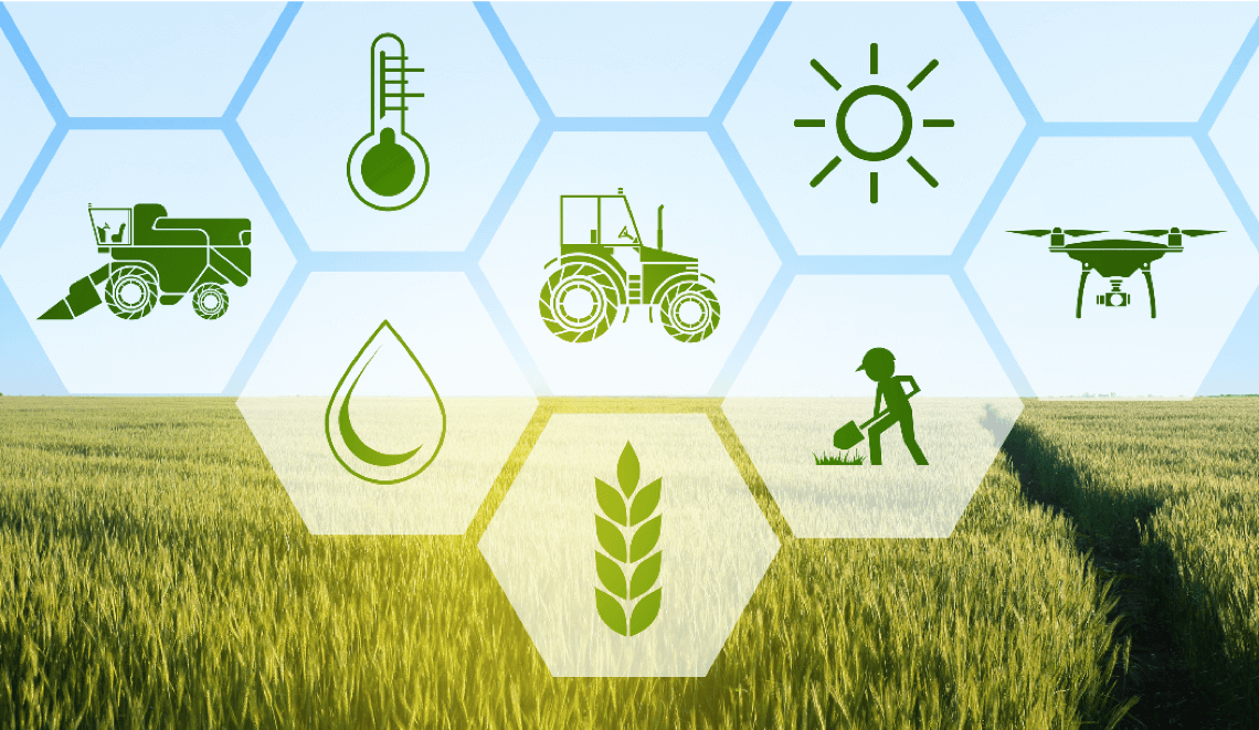
The Technologies Driving Agricultural Transformation
Several leading geospatial breakthroughs are driving agriculture into the digital age:
- GIS (Geographic Information System): Helps the integration of spatial and non-spatial data to monitor crop growth, soil health, and weather trends. The evolution of enterprise GIS has advanced these systems, made them scalable, and located them at the core of agricultural decision-making.
- Remote Sensing: Employs satellites and drones to extract high-resolution imagery of farmland for crop monitoring, irrigation scheduling, and disaster recovery.
- GPS Mapping: Tractors and farm machinery guide for precision sowing, irrigation, and harvesting, minimizing wastage and labor.
- IoT & Sensors: Picks up real-time information on soil moisture, temperature, and crop condition, inputs to geospatial systems for improved analysis.
- AI & Machine Learning Integration: Improves predictive modeling for yield prediction and pest or disease outbreak.
These technologies are no longer science fiction; Today, they are active in both developed and developing economies, establishing the path for more intelligent, more robust agriculture.
The Role of Geospatial Technology in Food Security
Food security relies on four pillars: availability, access, utilization, and stability. Geospatial technology assists with all of them:
- Improving Food Availability: - Using real-time crop monitoring, geospatial platforms enable governments and producers to spot supply shortages. This means they can act fast if a crop’s about to fail, keeping food flowing through the supply chain and avoiding store shortages.
- Enhancing Access and Distribution: - Efficient logistics ride on these tools, too—geospatial mapping identifies the best transport routes, reduce post-harvest losses, and streamlines food distribution to remote or difficult markets, whether it’s a rural village or an area hit by disaster.
- Optimizing Utilization of Resources: - Food security isn’t just about quantity; it’s about nutrition, too. With precision agriculture powered by geospatial data, farmers can manage water, fertilizer, and pests more precisely, resulting in higher yields and better-quality products.
- Stabilizing the Agricultural System: - With predictive analytics, farmers can prepare ahead of climate swings, pest outbreaks, and market fluctuations. All of this makes the agricultural system more resilient and less exposed to sudden disruptions.
Benefits of Geospatial Technology for Agriculture
The infusion of geospatial solutions in agriculture has several advantages, including:
- Precision Farming: Proper usage of seeds, fertilizers, and pesticides minimizes wastage and increases production.
- Water Management: GIS and remote sensing schedule irrigation to save water without compromising productivity.
- Sustainability: Geospatial data facilitates monitoring land use, minimizing deforestation, and promoting environmentally friendly practices.
- Cost Reduction: Automation and data-based decisions reduce the cost of operations while increasing profitability for farmers.
Sustainability and the Future of Food Security
Geo-spatial technology is also essential in formulating sustainable food systems. For instance, it can track land degradation, monitor carbon emissions due to agricultural activities, and analyze water footprints, all of which are crucial for ensuring productivity without impairing ecological health. In fact, most experts underscore the way GIS in environmental conservation and sustainability offers the basis for managing resources more sustainably.
As the world heads towards climate-resilient agriculture, the contribution of geospatial tools towards sustainability becomes critical. They offer the link between immediate food requirements and long-term environmental objectives.
The Future of Geospatial Technology in Agriculture
The future of geospatial technology in agriculture lies in evolving further and merging with other digital technologies. Some of the most promising trends include:
- Crop Forecasting with AI: Predictive analysis will be more precise, enabling farmers to plan accurately.
- Blockchain Technology: Making food supply chains more transparent and traceable.
- Autonomous Farm Equipment: Drones and tractors will automate further through GIS-based data.
- Weather Forecasting at a Hyperlocal Level: Sophisticated modeling will enable farmers to get climate forecasts specific to each plot.
- Global Food Monitoring Systems: International organizations and governments will increasingly use geospatial platforms for monitoring food production and distribution in real-time.
These developments show the vast potential of geospatial technology not only to maximize farming practices but to ensure the global food supply chain for generations to come.
Conclusion
The future of agriculture is making decisions based on data, and geospatial technology is at the center of this revolution. By providing precision, efficiency, and resilience, it helps food production keep up with population expansion and still conserve natural resources.
Though there are challenges, the advantages are far greater than the obstacles, and it is evident now that the adaptation of geospatial solutions has become not just a choice but a necessity. As the world hurries to become food secure despite climatic uncertainty, geospatial technology is offering the template for a smarter, sustainable, and hunger-free future.